
West Odessa Neighbor Record Sources
A block search has several distinct layers. ECAD’s map is the best place to see which parcels meet, while the ECAD record supplies the current owner of record, situs, mailing address, and legal description for a selected parcel. A deed adds recorded transfer parties. Election records have their own access and privacy rules. Historical directories can offer a dated subscriber clue, but neither they nor any property record are a full account of the people at an address.
| Source | What It Shows About a Block | Access |
|---|---|---|
| ECAD GIS | Parcel boundaries, accounts, adjoining parcels, and map context | Public click-and-browse map. |
| ECAD property roll | Owner, mailing address, situs, value fields, and legal description | Public current record; no household roster. |
| Ector deed index | Recorded transfer parties and parcel legal descriptions | County Clerk portal or counter; image and coverage limits apply. |
| Voter lookup or file | Legally available registration fields and election-history context | Official lookup or Chapter 18 request, subject to privacy rules. |
| Published historical directory | Dated subscriber and address clues | Library or UT Briscoe holdings; incomplete and historical. |
For West Odessa neighbors, a parcel owner and a current occupant can be different people. A tax mailing address may be outside the county. A selected parcel can also be vacant, commercial, or part of a larger tract. Record what the source actually says rather than filling gaps from the street number alone.
West Odessa Neighbor Parcels
The documented ECAD method is an adjacent-parcel walk. Search the map by address, legal description, or account, then zoom until the parcel boundaries are clear. Left-click the target parcel and save the account number and legal description. The county’s map instructions say that an information box opens and that the blue account-number link takes the user to ECAD property information. That link is the bridge from parcel geometry to appraisal fields.
Next, click every parcel that shares an edge and the parcels directly across the street. For each, capture the account and its legal description before comparing the situs, owner, mailing address, exemption field, and parcel shape. Keep a separate note for a parcel visible on the map that does not open an information box. This is a visible-boundary method, not a shortcut to a people list.
- Search the ECAD map by a verified address, legal description, or account number.
- Zoom until the target boundary is distinct, then left-click it and record its account and legal description.
- Click edge-sharing and opposite parcels, saving their account numbers separately.
- Use each blue account link to inspect the ECAD record, then compare situs, mailing address, owner, and legal description.
ECAD’s county instructions do not document a radius, buffer, or measure tool. Do not promise one. The map supports the adjacent-parcel method above, and its exact layer, export, and measurement controls need live verification.
West Odessa Neighbor Corners
Parcel geometry prevents a common block error. A corner parcel can have its situs address on one street while its frontage points to another. Two nearby parcels can share a subdivision and block name but have different lots, tracts, or mailing addresses. Match the account and legal description, not merely the house number. West Odessa’s postal city can also read Odessa even when the physical parcel is unincorporated Ector County.
ECAD records often join a physical situs to a subdivision, block, and lot. A deed may instead use a survey, abstract, or tract. Preserve every version of the land key so that a plat or deed can be checked later. If a street number appears to have changed, the legal description, parcel shape, nearby intersections, and the recorded plat are more reliable bridges than a guessed renumbering history.
- Situs
- The physical parcel address shown by the appraisal record.
- Mailing address
- The tax correspondence destination, which may not be where the owner lives.
- Legal description
- The recorded land identifier, such as a lot and block or a survey and tract.
Note: West Odessa has no confirmed official street-renumbering chronology, so a legal description is safer than assuming an old number identifies the same parcel.
West Odessa Neighbor Deed Records
Deeds and plats are the ownership-history layer around a West Odessa block. From an ECAD account, bring the legal description into the Ector County land-records portal and search the owner as grantee, the lot and block, subdivision, survey or abstract, instrument number, or a date range. The acquisition record can identify a seller, a recording date, and a prior instrument. Follow a seller as a grantee in the earlier transfer only after comparing the same land description.
A recorded party is not necessarily a current neighbor or a complete household. Estate transfers, trusts, entities, life estates, partial tracts, and reserved interests can change how a name appears. The official index also cautions that it works like a library card catalog and recommends spelling variations. When an image is unavailable or older coverage is unclear, use the County Clerk counter or a focused records request rather than guessing from an index row.
The county fee schedule lists recorded plats at $120. A plat can clarify a subdivision, road relationship, lot, and block, but it does not identify everyone living nearby. For a complete named-street chain rather than the immediate block, use the West Odessa street directory method.
West Odessa Neighbor Voter Rules
The official VoteTexas route confirms a person’s registration through “Am I Registered?” Its live field labels and result display were not captured, so a name, date, or identifier used elsewhere in election administration should not be presented as a guaranteed public lookup field. A person-by-person confirmation is not a public neighborhood roster. Ector Elections and the Secretary of State are the appropriate sources for records guidance.
Texas Election Code Chapter 18 allows public voter-list requests under set procedures, but the SOS voter-data route requires a notarized affidavit, a $75 deposit, and format and privacy rules for file requests. The state’s guidance distinguishes public fields from confidential identifiers. Social Security, driver-license, DPS ID, and similar information remain protected. Ballot choices are never public.
Texas voter-address confidentiality guidance explains the suppression and protected-voter rules.
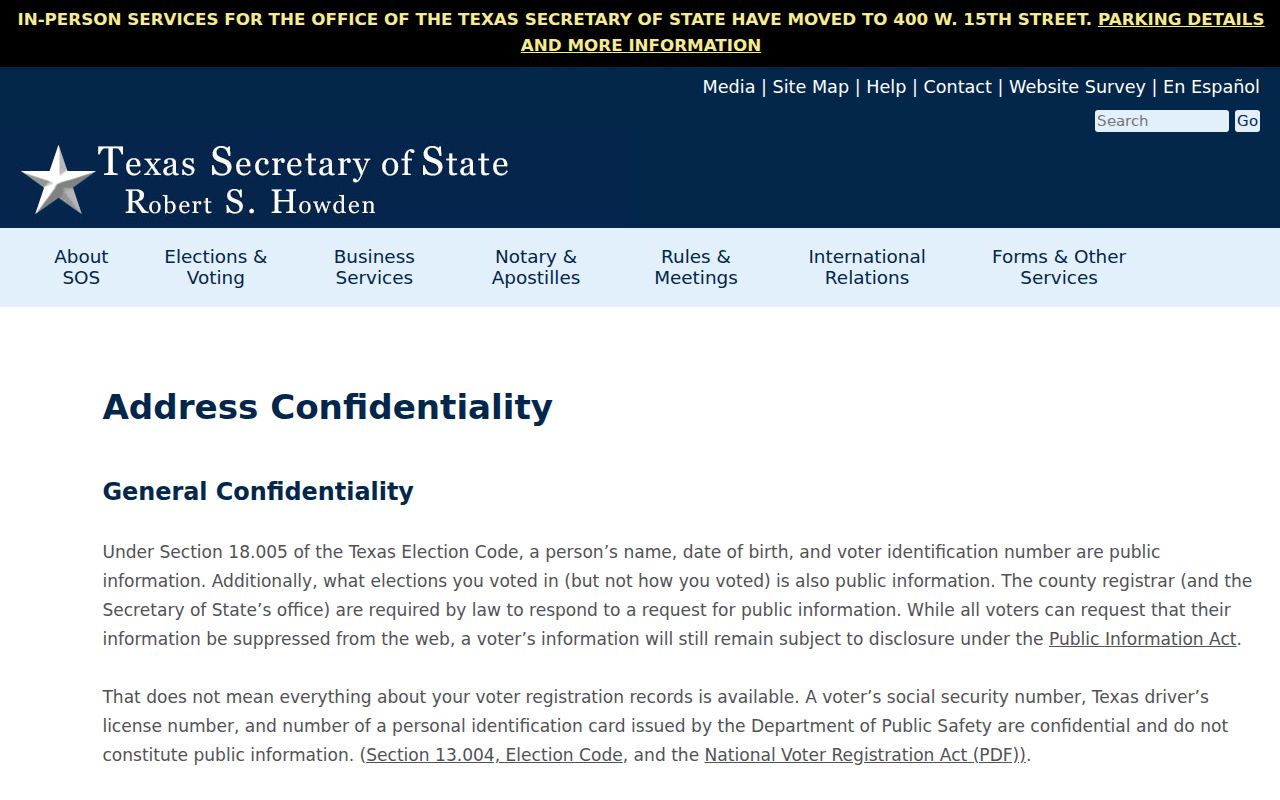
An ACP participant can use a substitute address, and a protected voter can have a home address hidden or displayed as asterisks. A suppressed entry is a privacy protection, not an invitation to search around it. Respect the restriction and request only records the law permits.
West Odessa Community Directory Gap
No official West Odessa neighborhood-association directory, HOA umbrella page, public member roster, or block-watch roster was found in the research. That is a meaningful gap, not a reason to substitute a scraped list or invent an organization. Public community context should come from materials an organization, library, or government body has chosen to publish.
Ector County Library
Southwest History & Genealogy keeps an Odessa, Ector County, and Texas clipping file, genealogy material, and staff support. Ask about a dated public artifact, not a living membership list.
Historical Commission
Ector County Historical Commission routes marker research to the Texas Historical Commission Atlas. Its public page does not identify a resident or association roster.
The county’s cemetery-records route is another historical place-record channel, not evidence about current neighbors or living households.
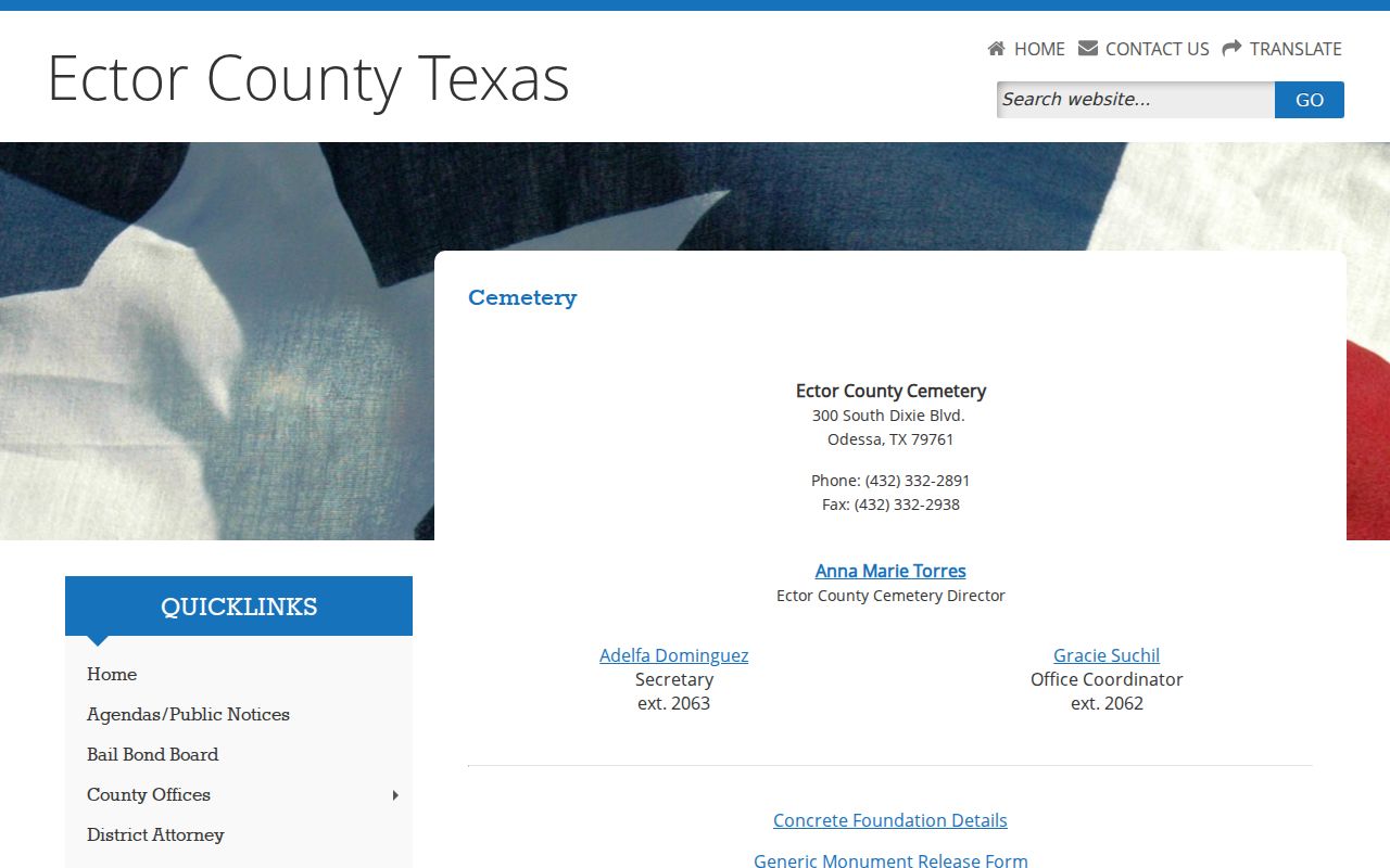
A cemetery, clipping file, historical marker, anniversary booklet, or donated newsletter can help with a dated family-history question. It should never be converted into a current block roster.
West Odessa Neighbor Parcel Dates
Address-based government records can date work on a parcel without identifying every person connected to it. Ector County Development Services handles structure, drive, right-of-way, cell-tower, and septic applications for unincorporated areas. The captured research found no public completed-project or code-case result index. Treat a permit as dated parcel evidence, not as a current-resident record.
Ector County’s environmental-enforcement page is similarly a government contact route for a location issue, not a West Odessa neighbor directory.
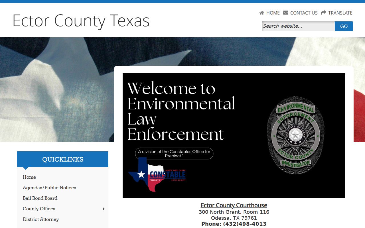
The record type matters. A location report, permit, plat, or utility-district map can describe a parcel, a process, or a service area. None supplies utility customers, delivery recipients, or a verified household list.
West Odessa Neighbor Record Comparisons
Official records and commercial people-finder categories serve different purposes. An ECAD record names a current owner of record and identifies a parcel. A deed records parties to a transfer. An official voter route follows statute-based disclosure and suppression rules. Commercial results may combine public-record indexes, marketing information, old addresses, and licensed data feeds, so they can be stale, incomplete, or merged between people with the same name.
| Source category | Best use | Important limit |
|---|---|---|
| Official parcel and deed record | Check the land key, owner of record, and recorded transfer | Does not prove occupancy or list all household members. |
| Official voter route | Use a legally permitted registration or request channel | Protected data, suppression, and ballot-choice privacy apply. |
| Commercial category | Use only as a lead to test with a named custodian | Can be stale or join different same-name people. |
This comparison matters in a spread-out CDP where an Odessa postal label, West Odessa geography, and Ector County record custody can coexist. Keep the original source and date beside each fact. A result that cannot be tied to a parcel, legal description, or independent identity anchor should remain unconfirmed.
Map a West Odessa Neighbor Block
Mapping a West Odessa block is a parcel workflow: verified address to ECAD map, target account and legal description, shared-edge and opposite parcels, then appraisal details for each selected account. It stays focused on a small visible block and makes the boundary of each conclusion clear. Where an account does not open or a deed image is unavailable, preserve the gap instead of filling it with a name from a different parcel.
- Confirm the target’s location and determine whether it is unincorporated West Odessa or inside Odessa city limits.
- Use ECAD GIS to identify the target account and its legal description.
- Review only adjacent and opposite parcels visible on the map, comparing account, legal description, situs, owner, and mailing address.
- Use a deed, plat, voter request, or dated published source only for the distinct question that source can answer.
West Odessa Neighbor Lookup Privacy
A neighbor lookup has firm limits. A block is not a public household roster. Property records may name an owner and tax mailing destination, while deeds show recorded parties. They do not list every renter, guest, family member, utility customer, delivery recipient, or person using an unlisted phone. Driver and motor-vehicle address data is restricted. Protected voters and Address Confidentiality Program participants may also have records withheld or use substitute-address procedures.
Texas Data Privacy and Security Act rights apply to covered business data practices, but they do not automatically erase a county public record. Contact the custodian about a factual record correction. For unposted existing government material, a narrow Texas Public Information Act request should identify the document or category, date range, and address or legal description. It cannot require an agency to create a custom roster.
Lawful use. Use block records for lawful property review, family history, civic context, or safe reconnecting. Texas Penal Code §§42.072 and 42.07 address stalking and harassment; do not use map or record details to track, target, intimidate, or repeatedly contact a person.