
West Odessa ZIP Route Coverage
Two routes are the primary starting points for West Odessa research: 79763 and 79764. Both connect to the Odessa postal network, but their use is address-specific. West Odessa is an unincorporated Ector County Census Designated Place, not an incorporated city. That distinction matters because the postal city printed on mail does not decide whether an address is in the City of Odessa or which county record source applies.
| ZIP | Areas covered | Post office | Notes |
|---|---|---|---|
| 79763 | Substantial West Odessa service area routed through the Odessa postal network | Odessa, TX 79763 | Verify each delivery address; an official CDP-to-ZIP split was not located. |
| 79764 | West Odessa service area associated with the West Odessa Post Office | West Odessa Post Office, Odessa, TX 79764-7209 | Postal city remains Odessa; the CDP boundary is address-specific. |
| 79741 | Unverified possible edge shown by nonofficial mapping | Not confirmed | Research gap only. Do not treat it as an accepted West Odessa ZIP. |
Use the rows as a routing aid, not a municipal boundary map. An address can carry a familiar postal label while its physical parcel remains in unincorporated Ector County. The USPS result for that full address is the final postal check.
West Odessa ZIP Primary Routes
The 79764 route is associated with the West Odessa Post Office at 5200 W University Blvd, Odessa, TX 79764-7209. The USPS station page lists 432-381-6707 and retail hours of Monday through Friday, 9:00 a.m. to 4:45 p.m., with Saturday and Sunday closed. Those details identify a postal station. They do not turn the postal service area into a city jurisdiction or a resident list.
For 79763, the captured USPS scheme assigns the postal city as Odessa. Research identifies it as a substantial West Odessa service area, while also noting that the exact split between the Census CDP and ZIP routes was not found in an official crosswalk. Keep a full street address with the result, since a five-digit code alone is too broad for parcel or records work.
The USPS West Odessa Post Office listing is shown below.
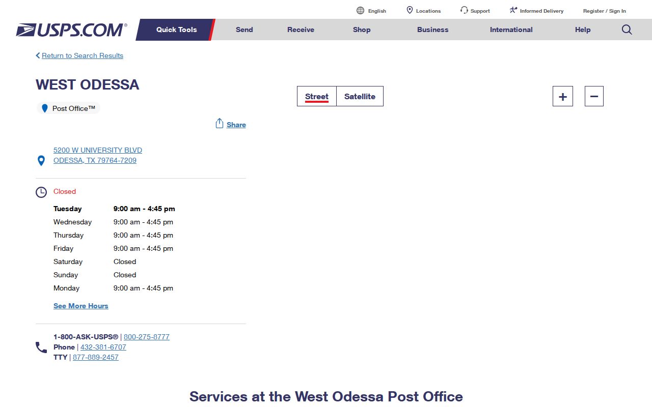
The listing supports station and service details, while an address lookup supplies the ZIP for a specific delivery point.
West Odessa ZIP Postal Scheme
The current USPS five-digit assignment file separates nearby Odessa routes in a way that is easy to misread as a boundary map. It assigns 79761, 79763, and 79766 to Odessa 79763. It assigns 79764 and 79765 to Odessa 79764. The file is a postal-city assignment reference, not an official map of the West Odessa CDP, city limits, parcels, or county districts.
That comparison explains why the postal word Odessa can appear on an address that is physically in West Odessa. It also explains why a ZIP code cannot settle a city-limit question. For a record search, retain the postal result and then use ECAD, Ector County maps, and the legal description to identify the actual parcel context.
The USPS five-digit ZIP assignment file is shown below.
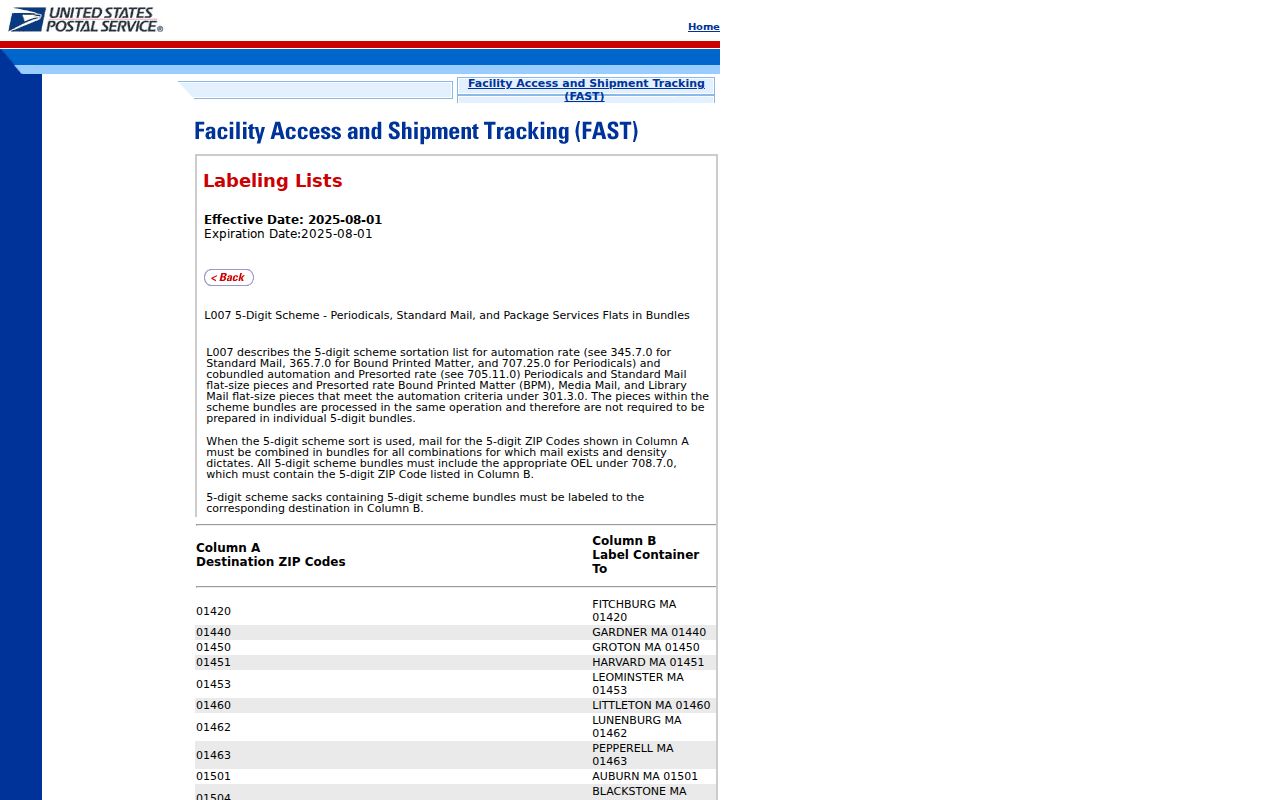
Read the postal-city row as a routing instruction, then compare it with a full address and the county parcel record.
West Odessa ZIP 79741 Gap
79741 belongs in the West Odessa ZIP code directory only as a documented research gap. Nonofficial mapping suggested a possible small edge overlap, but the captured source set did not confirm it through an official USPS or Census CDP crosswalk. It must not be presented as an accepted West Odessa ZIP or used to infer that a person, parcel, or postal stop is in the community.
When an older document, local story, or map suggests 79741, preserve the exact address and date. Then run the complete address through USPS, compare the parcel in ECAD or the county map, and check the legal description. This prevents a nearby-code observation from becoming a false geographic match.
West Odessa ZIP Search Paths
A ZIP code can organize an address search, but the named local portals do not all search by ZIP. The USPS lookup requires a complete address, city, and state. ECAD accepts a location, owner name, account number, or detailed parcel controls. Texas voter registration lookup is person-oriented, while voter-data requests use county, district, and precinct selections rather than a documented ZIP-wide search. Each system should be used for the key it actually supports.
- Enter the complete delivery address in the USPS ZIP Lookup and save the returned postal form.
- Use the address, owner name, or parcel account in ECAD Property Search to locate the current parcel record.
- Open the ECAD map, check the situs and legal description, and keep the parcel account with the postal result.
- For voter information, use the official person lookup or a county, district, or precinct request route instead of assuming a ZIP filter exists.
- Once the ZIP is narrowed to a street, use the West Odessa street directory for the address-focused record trail.
The ZIP is an entry point, not a complete directory. A property record may show the current owner and mailing address, but it does not establish every person at the parcel.
Ector County Elections links voter rosters and lists of voters for 2020-2026, plus precinct resources. The statewide request process described by the Secretary of State can select county, district, or precinct and has affidavit, deposit, and delivery rules. Those choices may help answer a defined public-record question, but the captured material does not document a ZIP selector. Protected voters and address-confidentiality participants require special handling, and ballot choices are never public.
West Odessa ZIP Filter Gap
ECAD's advanced form is useful after a postal check, yet the captured form did not show a ZIP field. It does show location city, street-number ranges, street-name prefix, subdivision, neighborhood, parcel number, tax district, property use, zone, acreage, and construction-year ranges. That makes ECAD ZIP-adjacent rather than ZIP-filtered. Do not promise a ZIP-wide ECAD result unless a newer live form actually exposes that control.
| ECAD field | How it helps after a ZIP check | ZIP limitation |
|---|---|---|
| Location City | Helps narrow location labels used in the appraisal roll. | Postal city is not a CDP or city-limit filter. |
| Street number and street name | Finds the verified delivery street or a limited range. | Requires an address, not merely a five-digit code. |
| Subdivision and neighborhood | Connects a parcel to a local recorded area. | Dynamic options were not fully captured; no ZIP field was visible. |
| Parcel number | Connects ECAD results to the map and appraisal account. | Parcel accounts are records keys, not postal codes. |
For a block or named street, parcel and legal-description work is more precise than a ZIP-only query. The map can show adjacent parcel geometry, while the appraisal record separates the physical situs from the owner's mailing address.
Note: ECAD's captured advanced search has several address-related controls, but no visible ZIP control, so use a complete address first.
West Odessa ZIP Address Keys
West Odessa research works best when three address identities remain separate. The situs address is the physical parcel location. The owner mailing address is where a tax bill is sent and may be elsewhere. The legal description and ECAD account are the records keys that connect a parcel to plats and deeds. A ZIP and postal city are delivery-routing information, not a replacement for any of those three keys.
- ZIP versus ZIP+4
- The five-digit ZIP routes mail broadly; ZIP+4 adds a smaller delivery segment for a specific address or group of addresses.
- PO Box ZIP
- A ZIP used for post-office boxes, which should not be treated as the physical location of a parcel.
- Unique ZIP
- A five-digit code assigned to one organization or receiving point, when USPS has made that assignment.
- Carrier route
- A delivery sequence used by postal operations, not a municipal or Census boundary.
This four-key comparison is especially important for West Odessa. A document might say Odessa for mail, West Odessa for Census geography, and Ector County for the deed or appraisal source at the same time.
West Odessa ZIP Boundary Comparison
West Odessa has Census geography of its own, with FIPS 4877728, but that geometry is not a USPS delivery map. The Census describes the CDP as a geographic statistical area, while a postal ZIP serves mail. City limits are a third geography, and Ector County parcel jurisdiction is a fourth. A record custodian should be chosen by physical jurisdiction and record type, not by the word Odessa on a mailing label.
Census QuickFacts for West Odessa CDP is shown below.
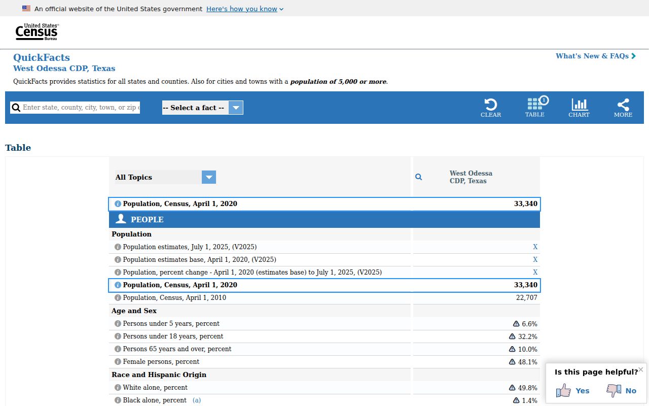
QuickFacts supplies community context. It is not a household roster or a ZIP-boundary source.
The Census TIGERweb West Odessa CDP record is shown below.
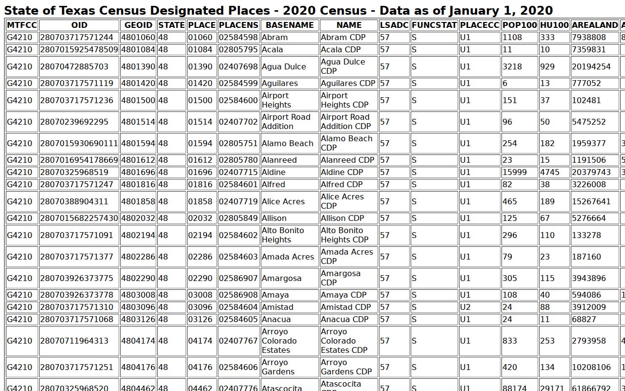
The Census geography helps distinguish the CDP from postal and incorporated-city labels, but it does not determine an address-specific USPS result.
West Odessa ZIP History Gap
No official West Odessa ZIP split or realignment history was found in the captured sources. Do not assign a date to a boundary change that has not been documented. Historical telephone books and city directories may show older postal labels, but they are dated snapshots and can have regional coverage. They are supporting clues, not proof of a past ZIP boundary.
For a historical address question, start with the street address as it appeared at the time. Check a current USPS result, retain the old postal label, and bridge the address through plats, deeds, and ECAD parcel continuity. If an old number seems changed, compare the subdivision, block, lot, road intersections, and parcel shape instead of forcing a modern ZIP onto an older record.
Note: The lack of a confirmed realignment history is itself useful, because it keeps a postal estimate from being mistaken for a dated boundary fact.